The Port of Dover
The Port of Dover is the busiest Ferry Port in Europe and 2.3 million tourist passengers passed through the port in summer 2014. The Port operates 24 hours a day 364 days a year with sailings to Calais operated by P&O Ferries, DFDS Seaways and MyFerryLink. DFDS Seaways also operate sailings to Dunkirk (Dunkerque) from Dover. The average crossing time to Calais is 1 hour 30 minutes, whilst it is approximately 2 hours to Dunkirk.
| GPS co ordinates |
Latitude |
Longitude |
| Dover Terminal |
51º7'39.7" N (51.12769 N) |
1º20'14" E (1.33722 E) |
| |
|
|
Dover Ferry Port by Car
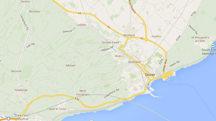
Dover has a prime location on the South East coast of England in Kent and is regarded to be the gateway to continental Europe. Access to Dover is easy via the M2 and A2 or the M20 and A20. Both the Eastern and Western Docks Ferry Terminals are clearly signed on the approach.
Updated:
3 August 2026
by Paul Quigley