The Port of Hull
Kingston upon Hull, popularly known just as Hull, is located in the East Riding of Yorkshire. It's situated about 25 miles inland from the North Sea, at the junction between the River Hull and the Humber estuary. There are 14 weekly crossings to Rotterdam (Holland) and Zeebrugge (Belgium) operated by P&O Ferries.
| Cross channel operators |
Departure |
Destination |
Weekly Crossings |
Duration |
 P&O Ferries P&O Ferries |
Rotterdam |
Hull |
7 |
12 hours |
| P&O Ferries |
Zeebrugge |
Hull |
7 |
14h 30min |
| |
|
|
|
|
| GPS co ordinates |
Latitude |
Longitude |
| Hull Terminal |
53º44'33.7"N (53.74270 N) |
0º16'38.7" W (-0.27742 E) |
| |
|
|
Hull Ferry Port by Car
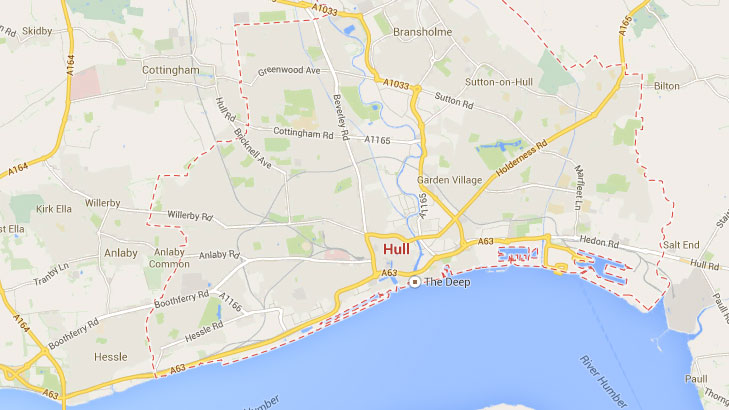
If you come from the north or west you can follow either the M62 or A1079 to the A63 and Hull City Centre, you will easily find the signs to King George Dock & Ferries. If you're coming from the south just follow the A15, cross the Humber Bridge and then turn east along the A63.
Updated:
10 May 2025
by Paul Quigley